Black Hills Land Analysis LLC
Smart Device Maps
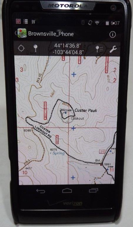
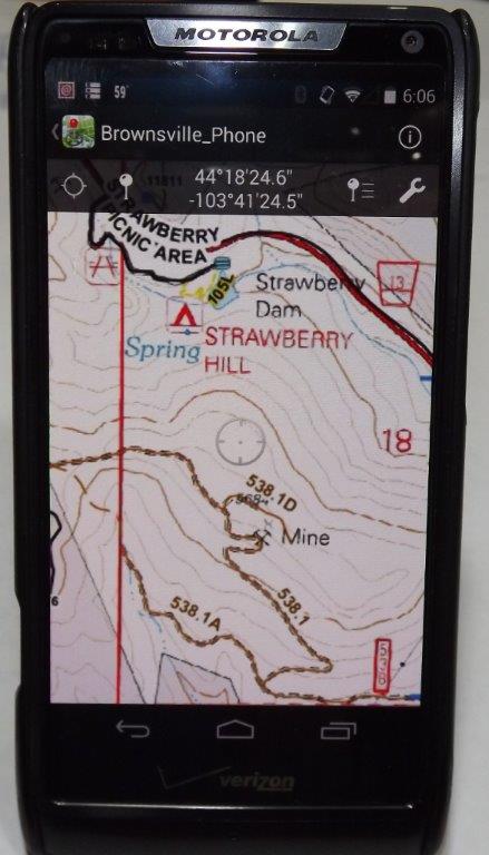
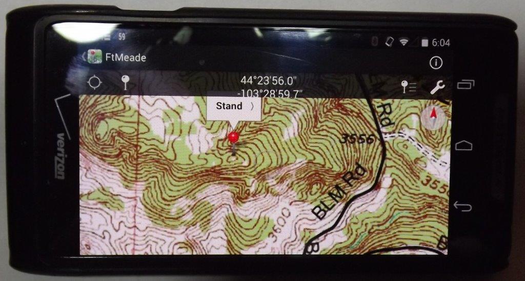
Black Hills Land Analysis will develop and supply maps suitable for use on Apple and Android devices. A georeferenced PDF map can be loaded onto these devices and with the use of a free app, Avenza PDF Maps, will provide realtime mapping with GPS tracking even when there is no mobile network available.
Speciality maps can include a wide variety of data including aerial imagery and topographic backgrounds for many applications. Contact us for information about your mapping needs!


